Showing posts with label washington. Show all posts

Wednesday, August 4, 2010

Peanut Park

Spin the compass-controller in the upper left corner of each photo or use your cursor to move the photo up/down and around 360 degrees. Click the upper right hand corner of each photo to view full screen.

Looking southeast from Laramie and Washington:


Street Cities - Free Mapping and Street View Tools

Looking east from Laramie:


Street Cities - Free Mapping and Street View Tools

View from Peanut Park

Tuesday, August 3, 2010

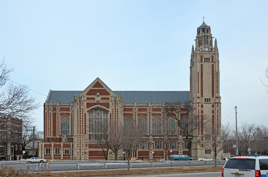
Church, etc

Spin the compass-controller in the upper left corner of each photo or use your cursor to move the photo up/down and around 360 degrees. Click the upper right hand corner of each photo to view full screen.

The former parish rectory:


Street Cities - Free Mapping and Street View Tools


Side view:


Street Cities - Free Mapping and Street View Tools

The former convent:


Street Cities - Free Mapping and Street View Tools

Grammar School

Here are two views of the former St Thomas Aquinas grammar school from Google Street View. (Wait a few seconds and the maps should dissolve into Street Views.)  Spin the compass-controller in the upper left corner of each photo or use your cursor to move the photo up/down and around 360 degrees. Click the upper right hand corner of each photo to view full screen.

View from Washington and Leclaire:


View Larger Map


View Larger Map