Spin the compass-controller in the upper left corner of each photo or use your cursor to move the photo up/down and around 360 degrees. Click the upper right hand corner of each photo to view full screen.
Looking southeast from Laramie and Washington:
Street Cities - Free Mapping and Street View Tools
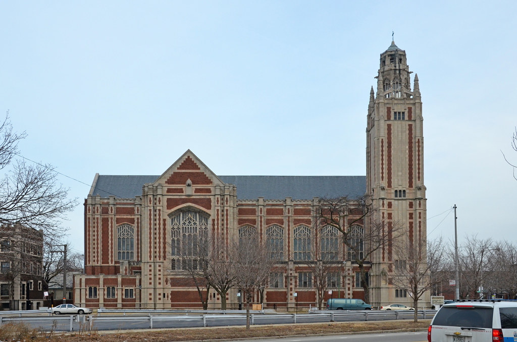
Looking east from Laramie:
Street Cities - Free Mapping and Street View Tools
No comments:
Post a Comment